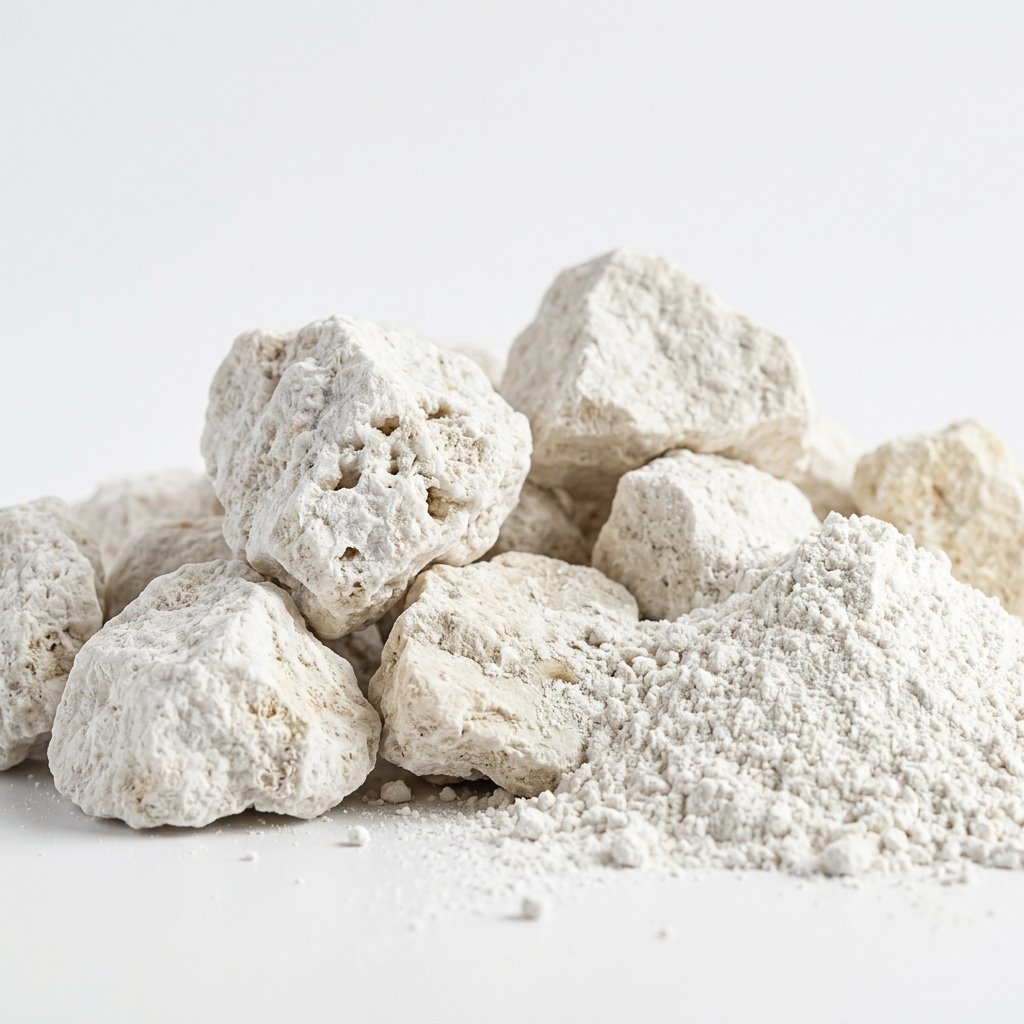
Advanced GIS mapping, satellite imagery, and core drilling reserve estimation.
Successful mining begins long before the first excavator arrives. Our dedicated Geological Survey division employs a team of 15 expert geologists and researchers who utilize advanced mapping and analytical techniques to identify viable mineral deposits across Tamil Nadu.
Using a combination of GIS mapping, drone aerial surveys, and detailed core drilling analysis, we accurately assess mineral reserves, grade quality, and extraction feasibility. This scientific foundation minimizes risk and ensures highly efficient, targeted mining operations.

Creating detailed digital topographical and geological maps for precision planning.
Accurate calculation of mineral volume, depth, and quality to ensure project viability.
Comprehensive economic and operational reports required for regulatory approvals.
Utilizing satellite data to identify potential mineral zones across large land tracts.
We continually invest in the latest exploratory technologies to provide the most accurate geological data possible.